Australia satellite photo
Melbourne satellite photo
USA satellite photo
Los Angeles satellite photo
I'm, maybe greedily, very keen actually to use this opportunity to explore the now much closer west coast of Canada - the state of British Columbia.
British Columbia satellite photo
View Larger Map
Source: https://maps.google.com/maps
To me, that's a coastline that oozes potential.
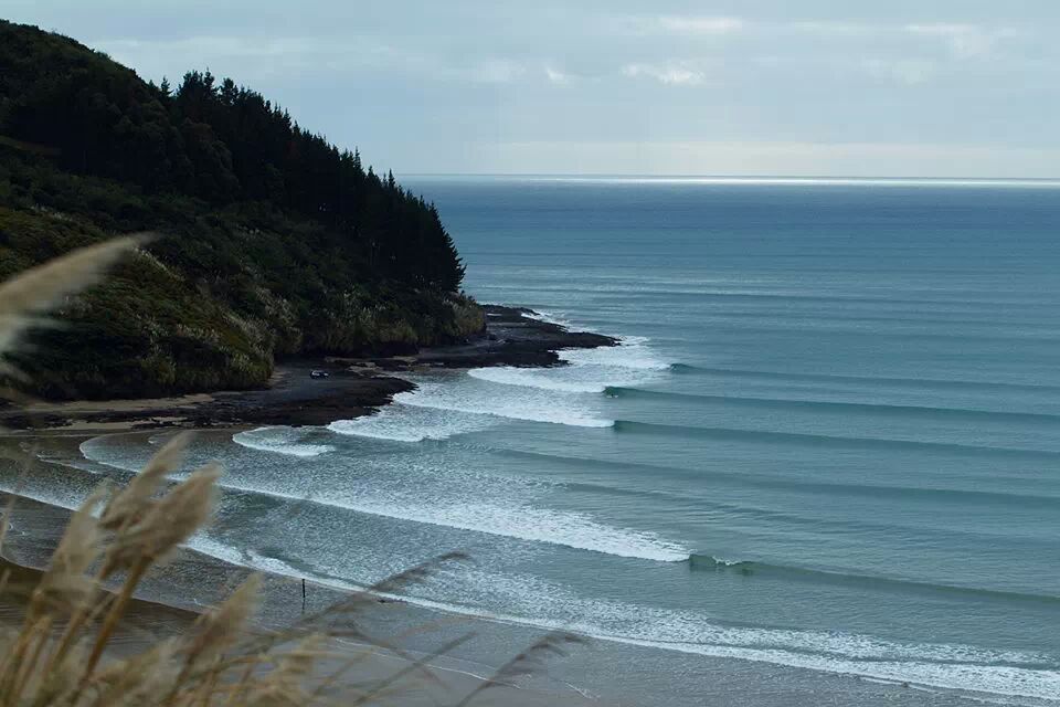
This photo below, while I'm not sure it's even Canada, makes me dream of it anyway.
Plus, call me sneaky, but I'm also assuming the cold Canadian water will also keep the crowds to a minimal.
 |
| Are the pine trees on the point a hint of any sort? |
No comments:
Post a Comment